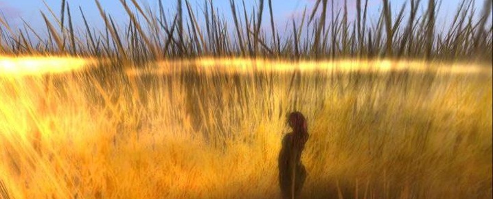
 This is a reproduction of a map of my town from 1797 superimposed with a photo that I took of the harbor the day before Hurricane Sandy. The shoreline changed after the hurricane; this map shows how drastically the geography of the area changed during the centuries past, from a swamp to gradually become a port harbor. The changes were reflected in the name Drowned Meadow, which later became Port Jefferson. Another interesting thing I found from the historical map collection online was that Port Jefferson Station, the adjacent town, was called Echo. (The town was very fortunate in that we didn’t suffer too much loss; this structure still stands.) #mapmaking
a blavatar in the blogosphere
cynthia davidson's word in the wall

I responded over in the MOOC but I wanted to say again that this idea of layering perceptions in a visual format is intriguing on many levels.