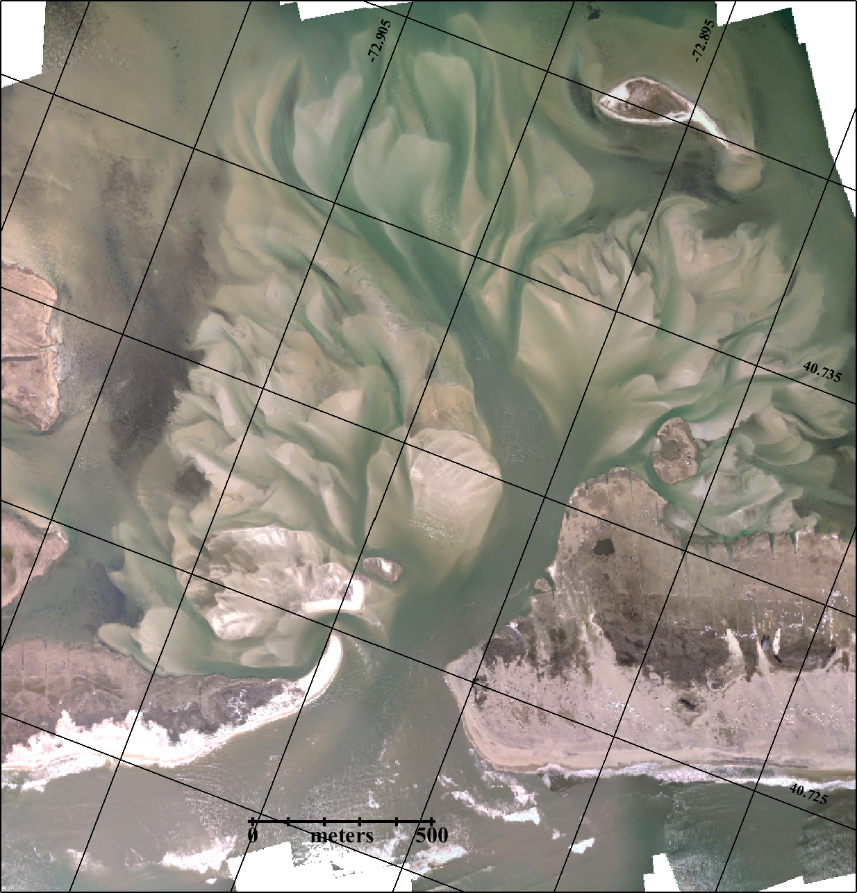
Dr. Charles Flagg took a flight over the Breach at Old Inlet on March 29, 2015. The photomosaic is available below.
Mark Lang has assembled all the geo-referenced photo mosaics into a kml file that can be viewed using Google Earth. By clicking between images and using the fade in-out button you can clearly see how the inlet is changing with time. An offline version of the KML file is available as KMZ.
For more information, please visit Dr. Charles Flagg’s website.


Recent Comments