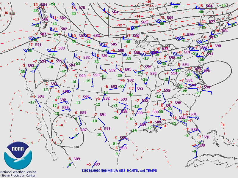
A large area of ridging aloft along the eastern U.S. slowly retrograded westward and weakened as it moved into to middle of the U.S for the greater part of the last week.
As a result of this ridging, 500 mb heights climbed to near 5910 gpm with 850 mb temperatures topping a toasty 20 degrees celsius at KOKX at 12Z on July 19, 2013. Given mostly clear to partly cloudy skies associated with subsidence aloft, surface temperatures climbed into the low to mid 90’s. In addition to the oppressive heat, a subtropical air mass was situated over the entire northeast U.S. allowing dewpoints to reach into the mid 70’s.
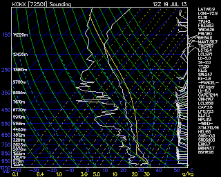
On the morning of July 19, the KOKX sounding revealed a relatively shallow unstable layer extending from 950 mb to 750 mb with a strong surface based inversion and little to no wind shear.
Given strong surface based heating associated with mostly clear skies, the forecasted sounding for the KOKX region showed that by 18Z the surface based inversion was largely dissipated and showed a well-mixed layer extending from the surface up to around 850 mb. While surface based CAPE values were rather low, MU CAPE values topped 3000 J/kg in the Long Island region given the heat and moisture content of the air.
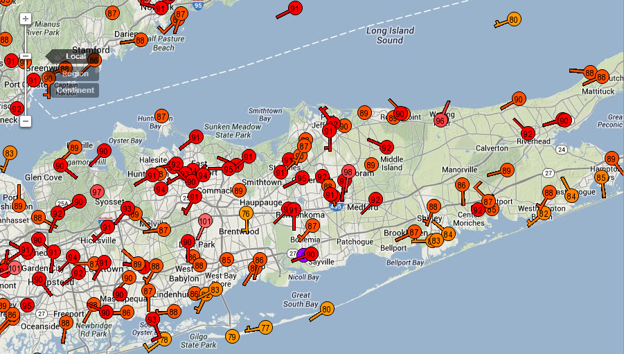
A sea breeze boundary was rapdily advected to the north-shore of Long Island through the morning hours due to a southerly flow. The boundary was difficult to identify in base reflectivity loops, but can be seen in surface based observations around noon EST between Port Jefferson and Wantagh through the convergence of the wind field.
The convective cells appear to be initiated over the same general region near Sunken Meadow State Park (appox. 10-15 miles west of Stony Brook Campus) and train westward along the ill-defined boundary as evident in this loop from 16UTC (1 EST) to 18UTC (3 PM EST). One hypothesis for the initiation of convection over this region could be that the Sunken Meadow region had the greatest low-level convergence. This would agree with the mesonet observations around mid-day (not shown) which showed defined low-level convergence on the north shore of the Middle of the Island near Sunken Meadow State Park.
These cells were short-lived given weak wind shear profiles and a shallow unstable layer, however, one cell did muster the strength to produce 1″ inch diameter hail in Mt. Sinai, New York and penny sized hail on the SOMAS campus. The reports of hail in Mt. Sinai were enough to verify a Severe Thunderstorm warning issued by KOKX moments in advance.
All in all, the intensity of thunderstorms triggered by a weak sea-breeze boundary was an uncommon occurrence and would have made for a very useful field day if the DOW had been around…
Related


