


About the Author: Lucy DiBenedetto is a fourth-year student in SoMAS Sustainability Studies Program. She currently serves as a mapping intern with the NYS Department of Environmental Conservation, a GIS Technician for the Shinnecock Bay Restoration Program, and as a TA for GIS Design & Application I. Her passions lie within the realm of GIS and teaching others how to implement and use a GIS.
The Science of Where?
If you were to ask me six months ago what my plans for the summer were going to be, I would have responded with, “I don’t know, I might take on more shifts at work, go on more ShiRP trawls, spend more time doing research at the Peterson Lab, or go travel somewhere cool, but I know I’ll be doing at least one of those aforementioned things.” If you were to ask me five months ago what my plans were going to be, I would have jumped up and shouted, “I’m going to Redlands to work for ESRI and living the dream!”
For those of you who don’t know who I am, I’m a fourth-year Coastal Environmental Studies major with a minor in Environmental Design, Policy, and Planning and a specialization in GIS. Right now, I’m a TA for GIS Design & Application I and a lecturer across Long Island, teaching teachers how to utilize a GIS in their classrooms and teaching folks how to utilize a GIS in their career fields. I spent this past summer interning with ESRI at their headquarters in Redlands, CA with 119 others from across the country and overseas, and it was awesome!
The Science of How

A whiteboard welcomes you to ESRI Support Services
Back in mid-February 2018, I applied for seven ESRI internships and the User Conference Student Assistantship along with internships with other organizations (the U.S. Army Corps of Engineers and NYS Department of Environmental Conservation, to name a few). On March 13, I decided to take a visit to the ESRI Denver office on a whim, as I was in the area already visiting family and scouting out some possible graduate school options. I was able to get a tour of the office, talked with some cool folks, and received some cool textbooks regarding ArcGIS Pro and using GIS for conservation. Two days after the tour (March 15), I received an email from a Support Readiness Lead, Marco, asking for my availability to have a phone interview; I interviewed the next day. I talked about the tour in my interview, saying that it seemed so coincidental that I went to the office and then was notified about an interview a few days later, and even the Readiness Lead said that it was coincidental. The fact that I had visited the Denver office played no factor in me receiving an interview opportunity. Anyways, the interview was supposed to be a short 30-minute interview; I ended up interviewing for nearly an hour just talking about my experience with GIS and my teaching experiences.
Nearly two weeks went by before receiving an email from HR about making an intern offer. I signed my letter of intent and my offer on March 30, six weeks after applying for ESRI internships. My offer was to intern with Educational Services on the Support Readiness team out in Redlands and my mentor was to be Marco, who I had interviewed with two weeks prior. From that day until the end of the spring 2018 semester, I was preparing for a cross-country move and gearing up for a summer of hard work and fun!

Lucy with ESRI President and CEO Jack Dangermond
The Science of Here!
On my first day of the internship, the University Programs managers in HR spoke about the prestige of being an ESRI intern. Out of the 10,000 or so intern applicants, 115 were given the opportunity to intern with the company. Roughly 100 of those interns were based out of the Redlands location with the others interning at regional offices (Charlotte, DC, St. Louis, and Denver to name some) across the United States. I also found out that day that there had never been an intern from Stony Brook in ESRI’s history and the Readiness team also never had an intern before me. It was so awesome to find out that I had etched my name in the history books, paving the way for future ESRI interns from Stony Brook.
As a Support Readiness intern, I was part of the team that is responsible for training those who work for Technical Support/Support Services. Trainings for software update releases and new product releases were typically held on Fridays either in the morning or in the afternoon, depending on the availability of the Training Room.
I had three main tasks and one final project for the duration of my internship. The tasks were to audit and edit 72 E-training modules, write triage documentation for 17 products and 16 extensions, and learn as much of the ArcGIS platform as I could. My final project was to create a video series covering a topic that I found interesting or a topic that had a high demand for trainings. I decided to create my final project on OGC (Open Geospatial Consortium) and WMS products, as I thought it would be a good challenge for me while also allowing me to show off my creative side. In addition, I was also tasked with “mini-tasks,” like proofreading presentation materials, attending trainings, giving presentations, preparing for new hires, and, yes, talking with Analysts.
In 12 weeks, I was able to learn most of the ArcGIS platform, including ArcGIS Pro, ArcGIS Enterprise, Portal for ArcGIS, ArcGIS Server, Operations Dashboard, ArcGIS Monitor, and the ESRI mobile apps. I was also able to beta test an upcoming app called “ArcGIS Indoors,” which allows a user to create maps of the inside of buildings and create best routes to go from an area in one building to an area in another building; the app will be released later this year.

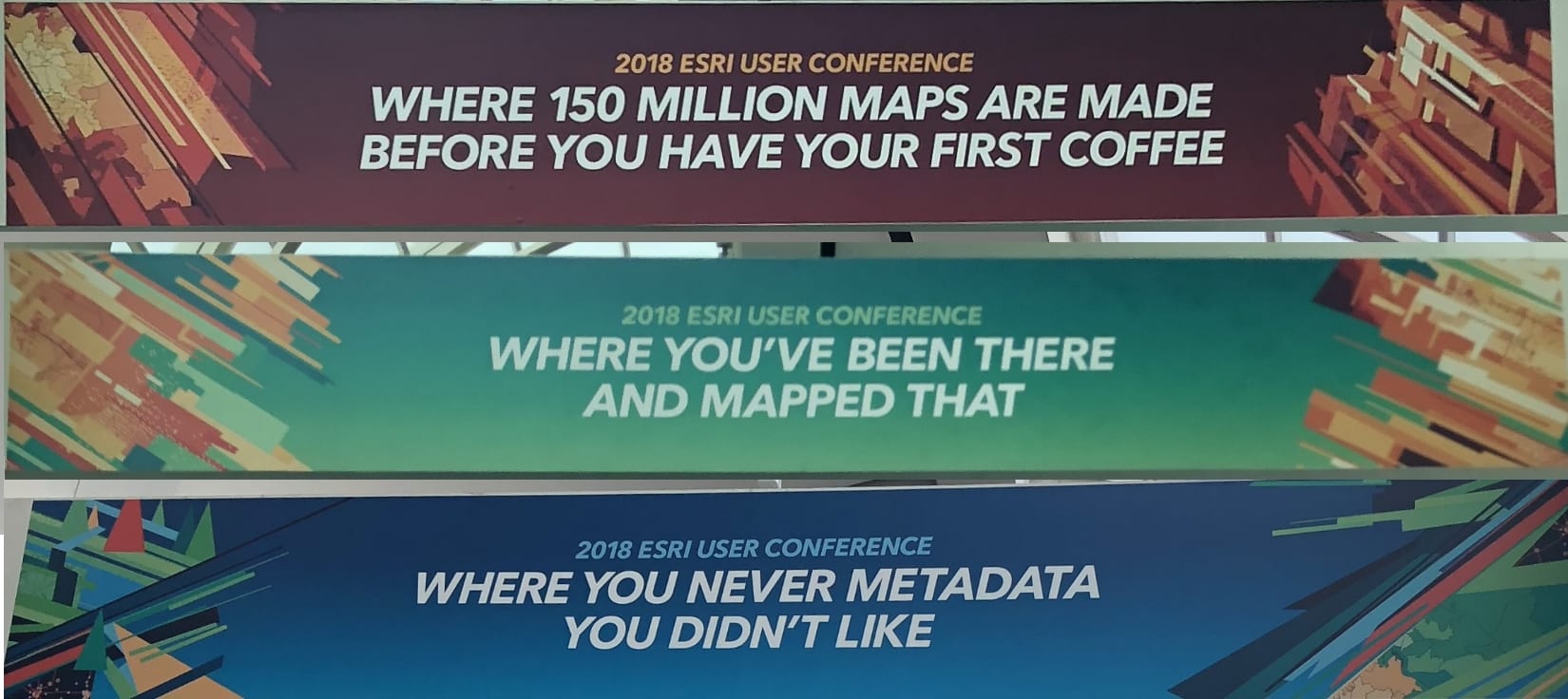
The 2018 ESRI User Conference
One major highlight from my internship came from the day of the User Conference. I was asked by my Charlotte-based Program Manager, Jon, to help with giving a presentation to global distributors at the Global CRM Track. The presentation was in two parts: Jon and Hanna would cover Salesforce usage during the first part, Marco would cover the Support Services structure in the second part, and I would jump in whenever I was needed. It was so awesome to be able to present with my mentor during the Conference! When I wasn’t giving my presentation, which was most of the day, I was working the Expo floor with Technical Support and learning about different products that Technical Support receives cases on. I also was able to see my map in the Map Gallery (“A Geospatial Analysis of Quantuck Bay, New York: Making Decisions for Remediation“) alongside my friends’ and classmates’ posters. There were thousands of awesome maps on display and being able to see it all was truly awesome.
GIS: Inspiring What’s Next
Since my internship ended with ESRI in mid-August, I have been hard at work with completing my courses of study and teaching the GIS users of the future how to utilize a GIS to their advantage. Right now, I’m a TA for Maria Brown‘s GIS Design & Application I where it’s my goal to teach the students how to use GIS in their courses of study in an easy-to-understand way. I’m also teaching teachers across Long Island how to implement a GIS into their curriculums with Maria.
My goal in life is to teach folks how to use GIS or teach folks different aspects of GIS, and that goal was made a reality through my time as an ESRI Support Readiness intern.

Thank you Lucy for sharing your experience. It was indeed great to read the information which will be definitely useful for students planning their internship. Keep posting!!