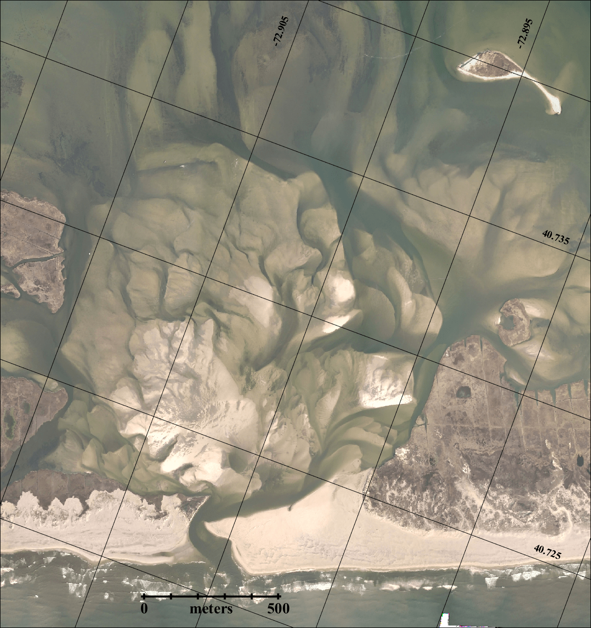
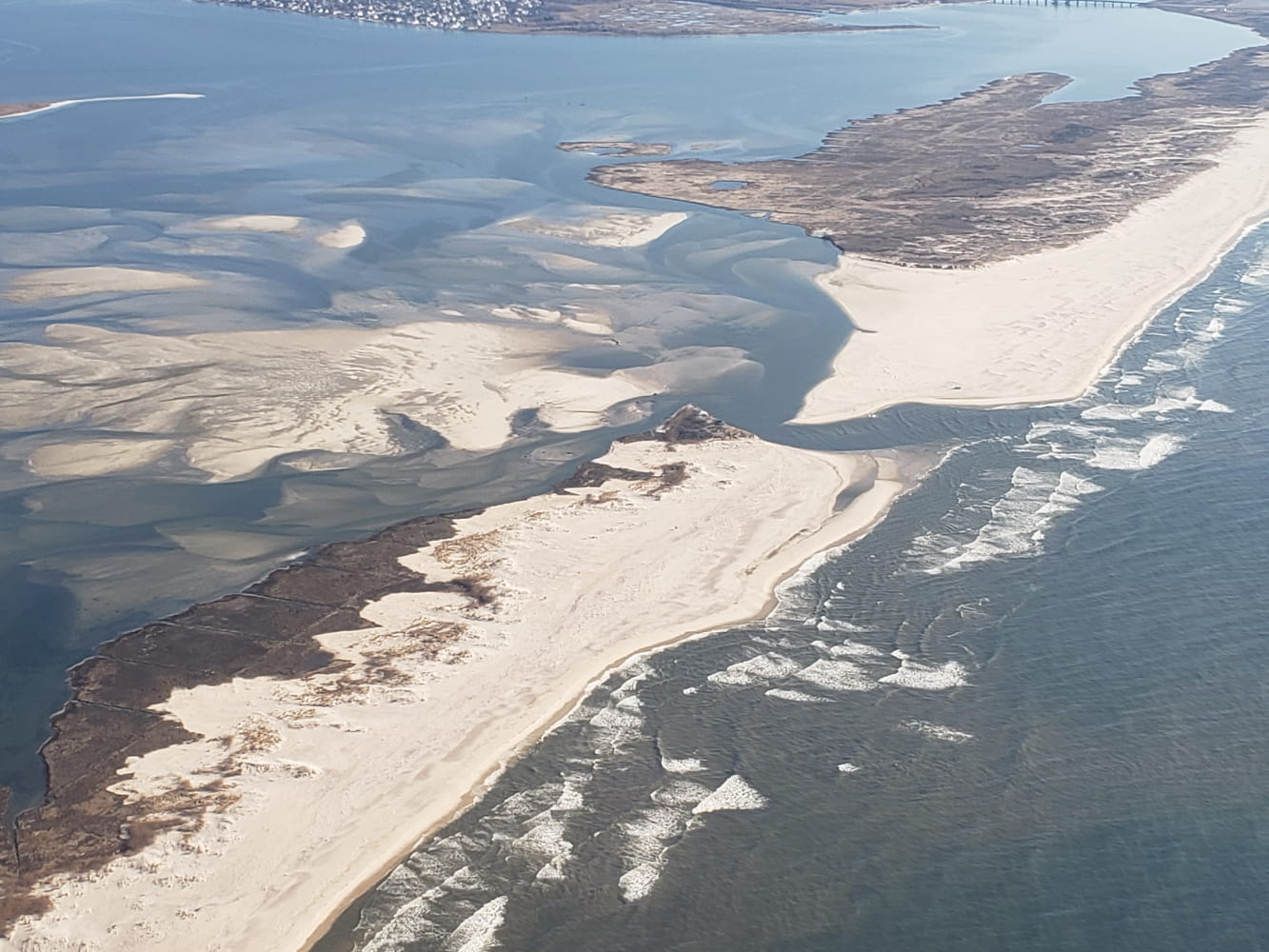
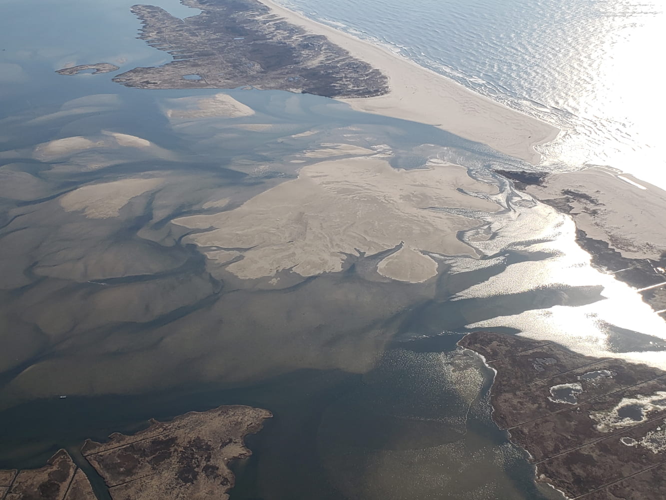
Dr. Charles Flagg took another flight over the Breach at Old Inlet on Fire Island on March 16, 2022, around 0930 EDT and shortly after high tide in the ocean.. The flyover mosaic is available below. Dr. Flagg documented the changes in Inlet Report 27, noting “that the breach is getting yet smaller and the sand from the east is intruding yet more. The salinity at Bellport is also tending toward pre-breach conditions.”
Mark Lang has assembled all the geo-referenced photo mosaics into a kml file that can be viewed using Google Earth. By clicking between images and using the fade in-out button you can clearly see how the inlet is changing with time. An offline version of the KML file is available as KMZ. The full size image is also available.
For more information, please visit Dr. Charles Flagg’s website.


