

The upper-level ridge and surface high pressure system that have been dominating our area for the past couple of days will be pushed out to sea overnight as an upper-level trough tears its way eastward from the Midwest. This extremely convective system, with its main surface low pressure system centered over Ontario, will bring rain and possibly severe thunderstorms to the Midwest. As this system moves eastward, the trough will lift quickly to the northeast, causing a majority of the system to miss our area as it passes through Friday afternoon and evening. However, as the system moves through Friday night, a cold front associated with the surface low will sweep through our area, creating the potential for some rain showers and dropping temperatures throughout the day Saturday.
Thursday Night
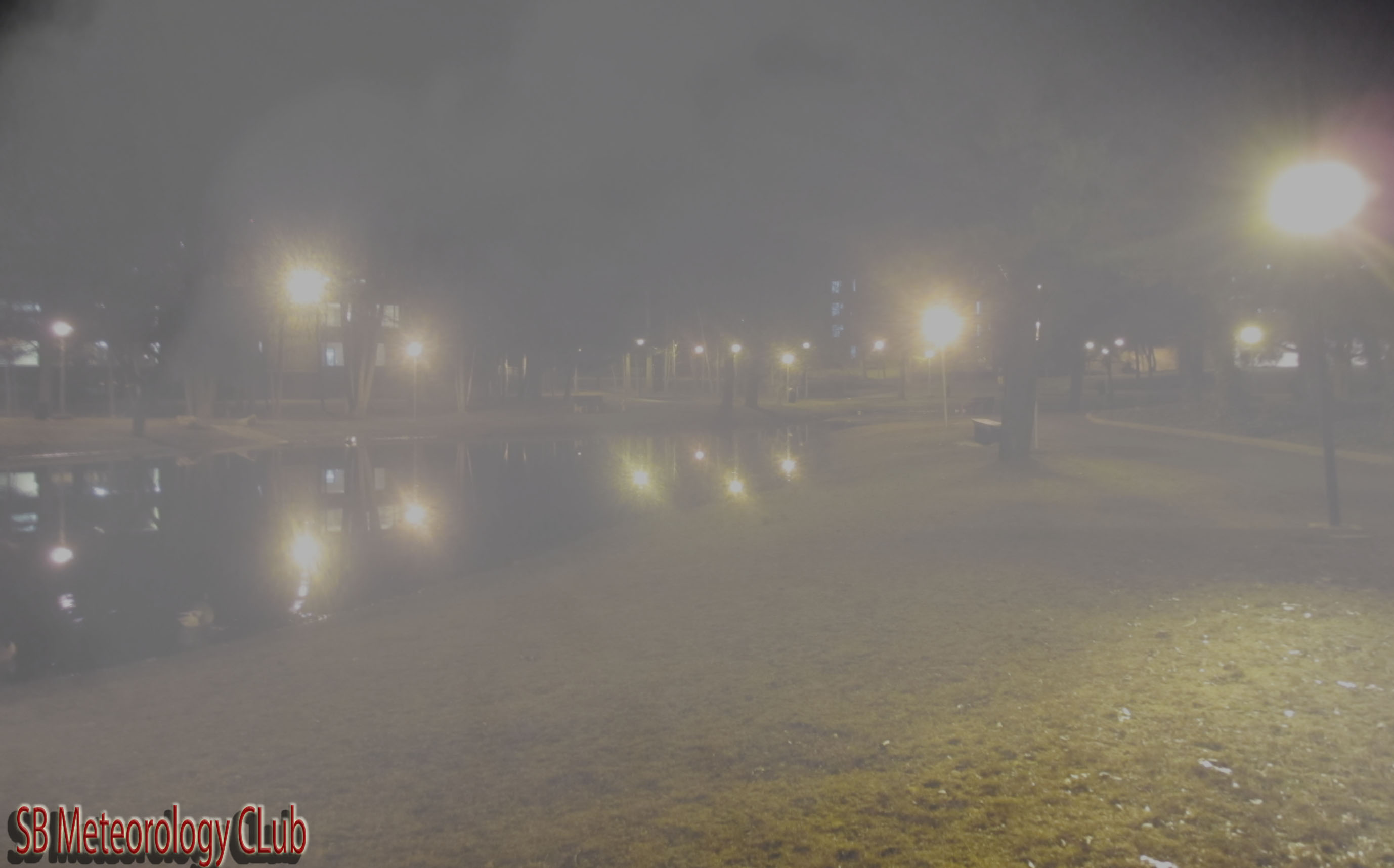
Overcast and humid with dense fog developing overnight into the morning hours
Low
%
Chance of Rain
Friday

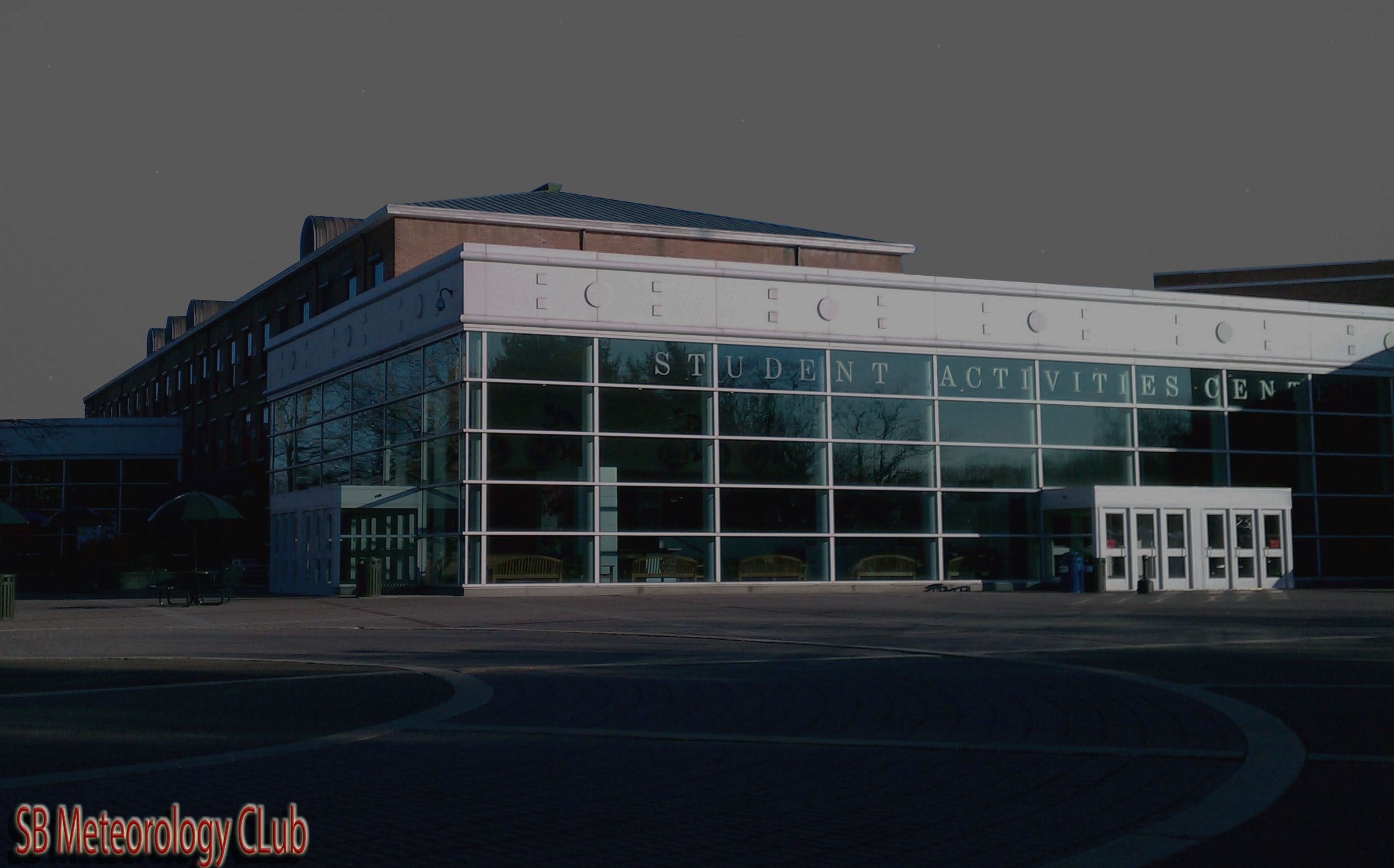
Overcast skies continue with strong southwesterly winds persisting throughout the day
High
%
Chance of Rain
Friday Night
Overcast skies will decrease throughout the night as moist air leaves the area. A southwesterly flow will persist until the early morning hours and then will become northwesterly as the cold front passes through our area.
Low
%
Chance of Rain
Saturday
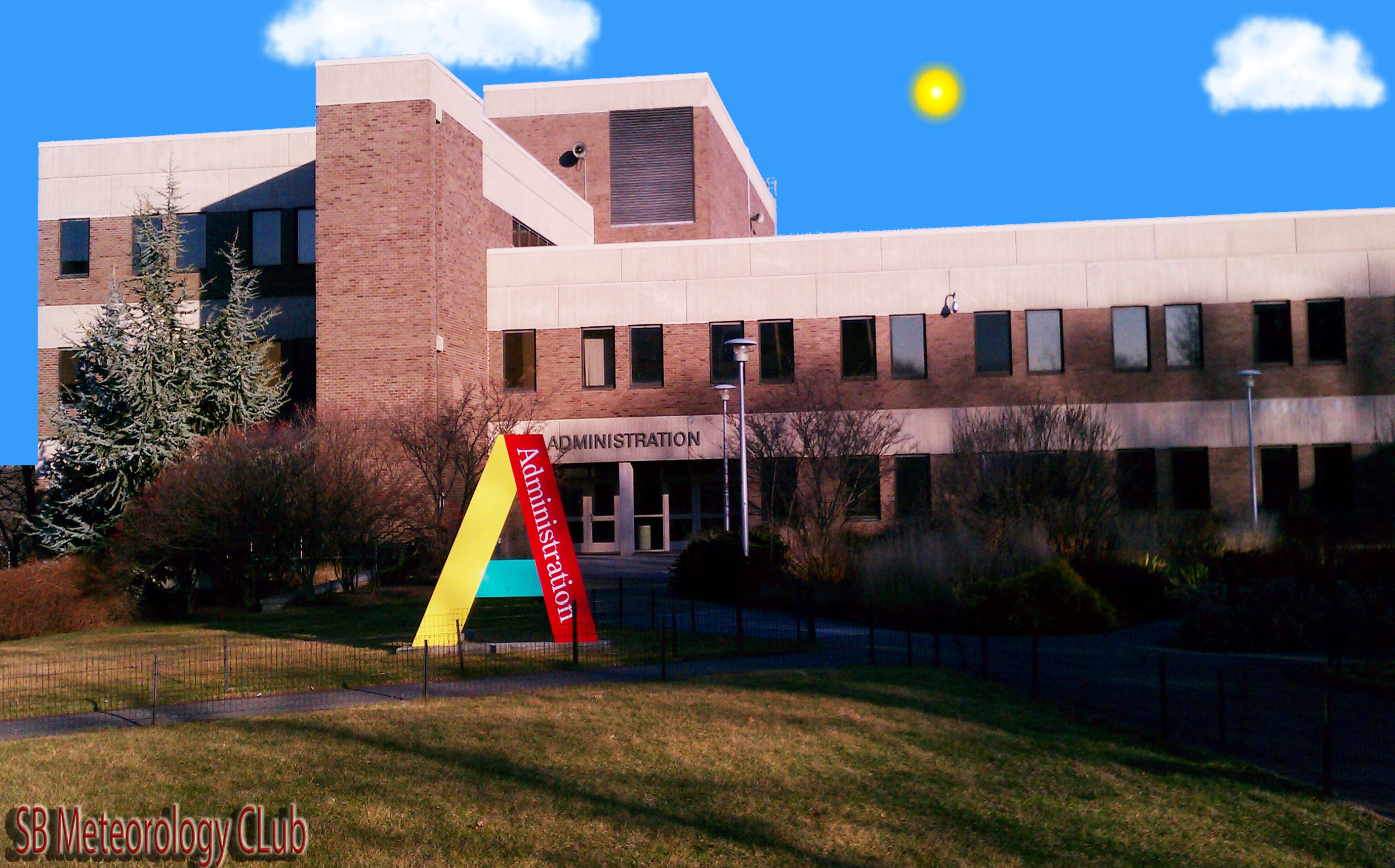
Cloud cover will decrease throughout the day, allowing some sunshine to peek through. Winds will remain northwesterly as temperatures drop throughout the day.
High
%
Chance of Rain
Saturday Night

Skies will become mostly clear and the air will be dry with a cold northwesterly wind
Low
%