

Forecasts
Weather forecasts by SBUWeather and ATM347Sunday December 2nd forecast
Synopsis:
Currently the region is under the influence of a long wave, short amplitude trough that is currently occupying the entire Continental United States. With the Negative vorticity advection portion of the trough stationed in the west coast while the positive vorticity advection portion of the trough is over the east coast. Associated with the positive vorticity section of the upper level trough is a surface cyclone over the great lakes region, centered over Michigan. This has allowed the passing of a warm front over our region, and wil contribute to dense fog as moist ocean air from the south is advected into the region.
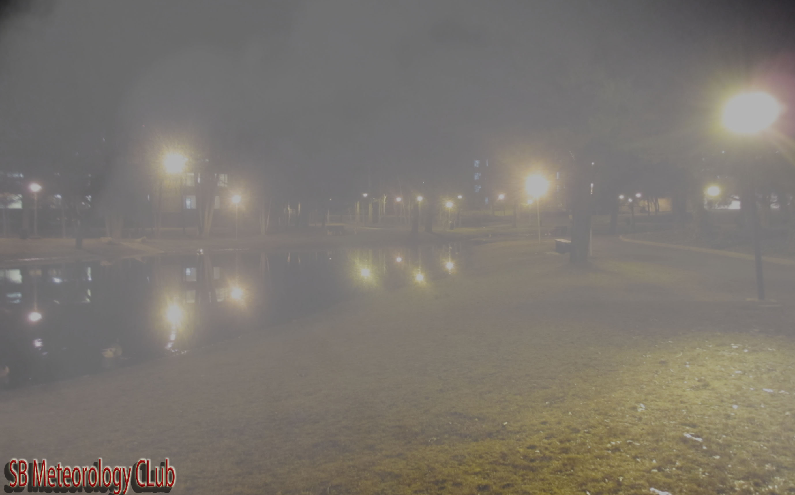
Monday Night:
warm air form the south over the water is advected into the region overnight leading to fog, overall preventing nighttime temperatures from dropping too low, as the low temperature will be 50 F.
Low
%
Chance of Rain
Monday:
Fog leaves the region early monday morning as the cyclone moves off to the north and east, leading to clear skies with a high of 55F

High
%