Latest @SBUWeather Instagram Posts
View this profile on Instagram
Seawolves Storm or Not Playlist
Monday, November 12 2018
Synopsis:
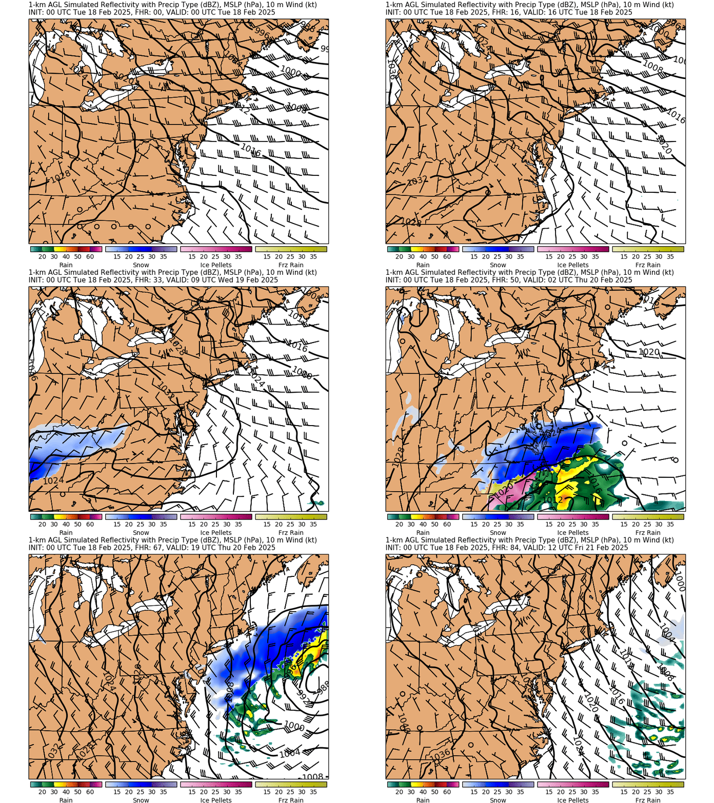
Surface level high off the coast of Long Island gets replaced by a surface low Tuesday morning bringing rain through Tuesday night. The system moves out of the area by Wednesday. An upper-level long wave ridge persists in the area until Tuesday night when it is replaced by an upper-level long wave trough. Temperatures remaining in the mid-upper 40s through tonight. Tuesday is a lot warmer, with temperatures reaching the lower 60s but dip down into the upper 30s and lower 40s Tuesday night into Wednesday.
Monday

Mostly Sunny
High
%
Chance of Rain
Monday Night

Showers turning into rain after Midnight
Low
%
Chance of Rain
Tuesday
Rain mainly in the morning, with a chance of showers in the afternoon
High
%
Chance of Rain
Tuesday Night
Slight chance of showers in the early evening but then clearing out
Low
%
Chance of Rain
Wednesday
Mostly Sunny
High
%


